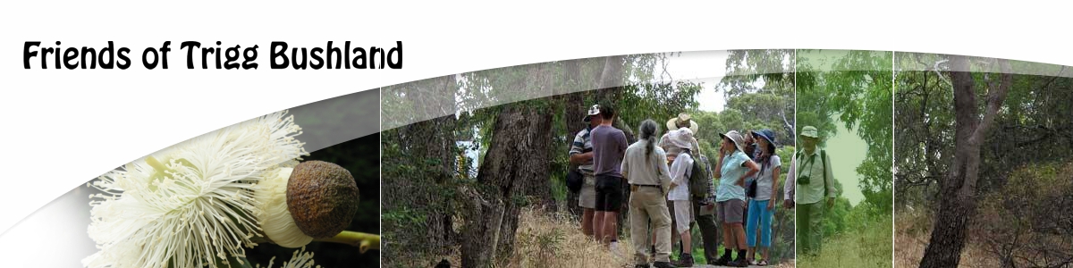
Would you like to participate in the tuart mapping project? It is a good way to spend time in the bush, hone your abilities to judge measurements and the health of trees, and learn how to use a GPS. There is also the opportunity to become involved in data management and using tracks and waypoints on computer maps.
No experience required! All materials are supplied. You will work with experienced volunteers so can learn at your own pace, and contribute as much or as little of your time as suits you.
This work is suitable for older children (with supervision) and young adults, and is a great family activity in the bush. Please contact us for further information.
Download a PowerPoint presentation giving details of the data collected and exactly how it is done – Tuart Training Presentation – this file is 5.7 Mb.
You will also need to differentiate between Tuart and Marri trees, and identify certain weeds – download the Tuart and Weed Identification Presentation – this file is only 575 kb.
Download a powerpoint presentation showing the first results from the tuart mapping project, showing the individual trees in the Duart-Arnott area of Trigg Bushland as well as details of size and age, and some preliminary conclusions.
This file is 4mb in size. Download here.
Recent Comments